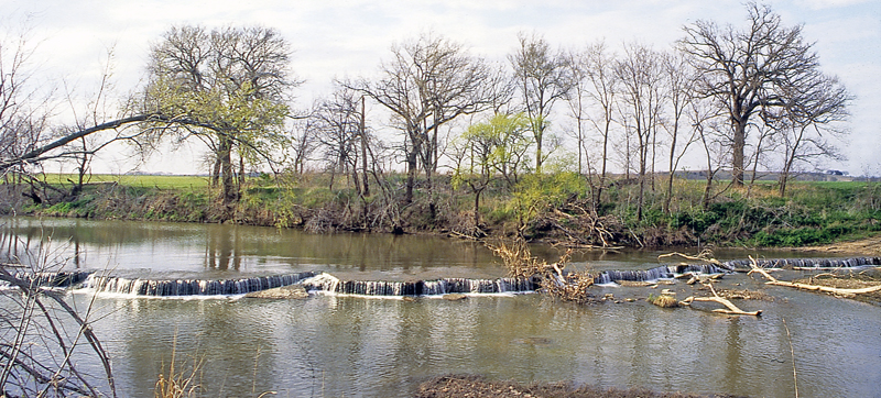
Ozro Falls in Chautauqua County, Kansas, courtesy of the Kansas Geological Survey.
Ozro Falls in Chautauqua County, Kansas, are on the Caney River and drop over a ledge of naturally eroded limestone. Spanning about 200 feet across, the waterfall drops about three feet during normal water levels. The road makes a low water crossing just above the falls.
West of the Osage Cuestas, the Chautauqua Hills are known for their thick layers of sandstone and are usually densely vegetated with oak and other timber. During the Pennsylvanian and Permian periods, rivers and streams flowed into the sea in this area. Sand and other sediment are collected at the mouths of the rivers, forming deltas. When the seas dried up, the sediments were buried and formed rocks. The sands became sandstone, and the muds became shale.
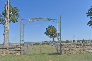
Located about five miles southeast of Cedar Vale, Kansas, it can be a little tricky to get there. Don’t approach the falls by way of Eagle Road and the Ozro Falls Cemetery, as the road becomes impassible just past the cemetery. Instead, take Road 5 south from Highway 166, just east of Cedar Vale, until you reach Frontier Road. Take a left turn onto Frontier Road, and then take a right turn onto Road 6. This deteriorates pretty quickly, so if needed, park and walk the rest of the way to Ozro Falls. It can be difficult to access after heavy rain.
©Kathy Alexander/Legends of Kansas, updated April 2025.
Also See:
Chautauqua County Photo Gallery
Sources:

