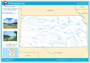
Kansas Rivers & Creeks:
Lakes & State Parks
Brown State Fishing Lake and Wildlife Area
Cowley State Fishing Lake & Waterfall
Melvern Lake & Eisenhower State Park
Tuttle Creek Lake and State Park
Dam Foolishness at Tuttle Creek
Wyandotte County Lake & Park
Other
Water Falls
Cowley Waterfall – Cowley County
Drury Dam Waterfall – Sumner County
Geary Falls – Geary County
~~
~~
Kansas has over 10,000 miles of rivers and streams and over 120,000 lakes, reservoirs, and ponds. Most lakes and ponds were created with artificial barriers like dams and dikes. Natural lakes are rare in Kansas and are much smaller than the state’s reservoirs. These many waterways provide hours of fun and relief from those hot summer days and activities, such as canoeing and kayaking, fishing, hiking, and wildlife and bird watching during the off-season months.
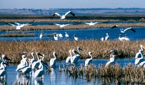
Lakes across the state provide locations to boat, camp, fish, and enjoy water sports. Stocked fishing lakes are alongside state lakes, state parks, and wetlands in urban and rural areas. Landscapes are varied from chalk rocks, limestone, cliffs, and prairies where various birds and wildlife not thought of in Kansas can be found.
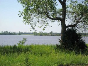
Lake Inman, Kansas, courtesy of Wikipedia.
The largest natural lake is McPherson County’s Lake Inman in central Kansas. It covers about 160 acres and is on private property. The largest reservoir, Milford Lake near Junction City, covers 15,709 acres. It is one of 24 public reservoirs built by the U.S. Army Corps of Engineers and the U.S. Bureau of Reclamation. It is used for flood control, municipal and industrial water supplies, irrigation, and recreation.
Most water areas are small, private farm ponds less than an acre in size. Most streams and rivers in Kansas are also privately owned, and except where they pass through the legal limits of a government entity, permission is needed from the landowners to access and use the streams and adjacent lands for any purpose.
The public rivers are the Kansas, Arkansas, and Missouri Rivers, open to the public. However, when these rivers flow through private land, permission is needed from adjacent landowners to access the rivers and when picnicking, camping, hiking, or engaging in any other activity on the adjacent private lands.
The larger public lakes include 24 large reservoirs and more than 580 owned by state and local governments. These lakes and reservoirs are located in two major river basins—the Missouri and Arkansas Rivers.
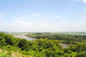
The Kansas River, one of the world’s longest prairie rivers, was designated a National Water Trail on July 14, 2012. Known locally as the Kaw, the Kansas River begins at the confluence of the Republican and Smoky Hill Rivers near Junction City and flows 173 miles to Kansas City, where it joins the Missouri River. The Kansas River watershed drains almost the entire northern half of Kansas and part of Nebraska and Colorado. The major cities along the Kansas River include Junction City, Manhattan, Topeka, Lawrence, and Kansas City.
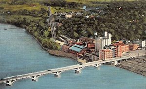
Kansas has access to 122 miles of the Missouri River along the state’s northeast corner. Eight commercial terminals are near Atchison, Leavenworth, Lansing, White Cloud, and Kansas City. The Port of Kansas City, Woodswether Terminal, is located within a mile of downtown Kansas City and the interstate highway loop at river mile 367.1 on the south bank of the Missouri River.
Foodstuffs, fertilizer, scrap steel, cement, other raw materials, and machinery compose the bulk of shipments. The shipping season generally lasts between eight and nine months.
The Port of Catoosa, an inland seaport near Tulsa, Oklahoma, is approximately 50 miles from the Kansas border. The South Kansas and Oklahoma Railroad and the Burlington Northern Santa Fe Railway provide direct rail access to the port. It is a year-round, economical alternative to other means of travel and especially advantageous to businesses manufacturing large goods that must be assembled before shipping. The port has been approved for a $6.4 million grant of federal funds for the main dock’s $13 million rehabilitation.
©Kathy Alexander/Legends of Kansas, updated May 2024.
Also See:
Early River Commerce in Kansas
Sources:
Kansas Commerce
Kansas Geological Survey
Kansas Travel
Kansas Outdoors
Travel Kansas

