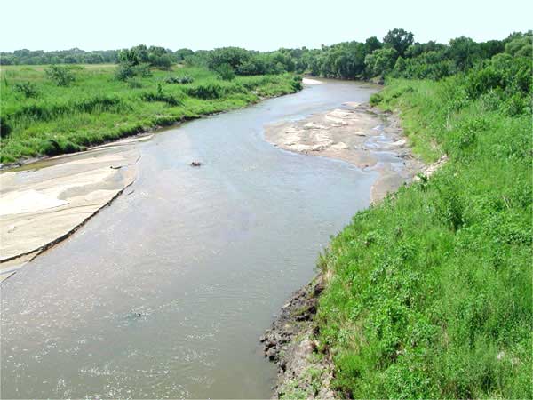
Little Arkansas River, Kansas.
The Little Arkansas River, pronounced ahr-KAN-zez, is 90 miles long and located in South Central Kansas. The starting point of this stream is not far from the town of Geneseo in Rice County. It flows in a southeasterly direction through the counties of Rice, McPherson, Reno, Harvey, and Sedgwick and empties into the Arkansas River in Wichita.
The origin of the name is unknown, but the stream was known as the Little Arkansas as early as 1825, when the Santa Fe Trail was surveyed and the names of the streams were recorded. The Osage Indians called the stream the “Ne-Shutsa-Shinka,” the “Young, or Little Red Water.” The river has high banks in many places, making it rather difficult to cross, and the flow is subject to sudden rises.
On Du Pratz’s 1757 map of Louisiana, the course of the Arkansas River is correctly given, and at the junction of the Big and Little Arkansas Rivers, a gold mine is marked.
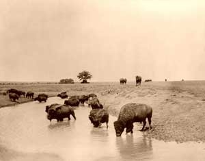
Buffalo at water by the Detroit Publishing Company, 1904.
This section was a favorite hunting ground with the Indians, with buffalo and other game being very plentiful. In October 1865, a treaty was made with the Indians on the east bank of this stream, in which William S. Harney, Kit Carson, John B. Sanhorn, William W. Bent, Jesse H. Leavenworth, Thomas Murphy, and James Steel represented the United States, while Black Kettle, Seven Bulls, Little Raven, and others looked after the interests of the Indians.
©Kathy Alexander/Legends of Kansas, updated October 2025.
Also See:
See Sources.