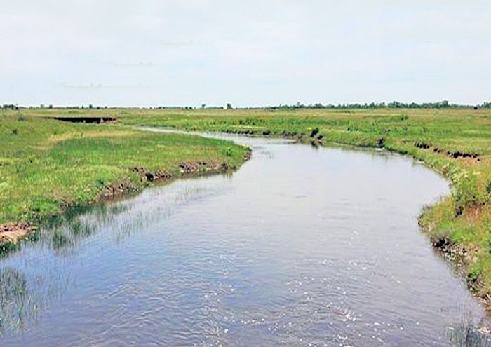
Rattlesnake Creek in Kansas, courtesy of Wikipedia.
Rattlesnake Creek is an approximately 95-mile meandering stream that is a tributary to the Arkansas River in central Kansas. The headwaters are in northern Kiowa County, and it flows northeast through Edwards and Stafford Counties before converging with the Arkansas River in Rice County approximately six miles southeast of Raymond, Kansas.
The stream flows through Quivira National Wildlife Refuge, a major migratory waterfowl refuge in the central flyway, dividing it in half. This refuge encloses approximately 33 miles, of which the highly saline Big Salt Marsh comprises approximately 16 miles. These marshes, which are located at the water table, are broad, shallow expanses of water, heavily vegetated along the shoreline with a variety of prairie grasses. Wetlands contributing to the creek total about 60,200 acres, most of which have high water tables, excessive mineral concentrations, and drainage problems.
Before 1971, it was called either Rattlesnake Creek, Salt Creek, or the West Fork Rattlesnake Creek. However, that year, it was officially named Rattlesnake Creek by the Department of the Interior.
Rattlesnake Creek drains the Rattlesnake Watershed.
©Kathy Alexander/Legends of Kansas, May 2026.
Also See:
Sources: