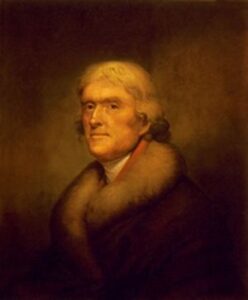
President Jefferson Sent Explorers. When the United States bought Louisiana, the country from the Mississippi River to the Pacific Ocean was a vast unknown area. President Thomas Jefferson was eager to learn about the great West and sent out several exploring parties.
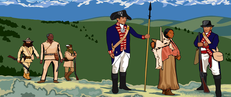
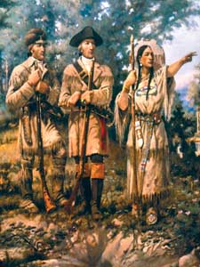
Lewis and Clark. The first expedition, sent in 1804, the year following the purchase of Louisiana, was in charge of Meriwether Lewis and William Clark. They were instructed to move up the Missouri River and on to the Pacific Ocean. After a difficult journey lasting two and a half years, the party returned to St. Louis, Missouri. It brought to the people of the United States much important information concerning the West. It is part of their journey along the border of what is now Kansas, in which we are most interested.
The Journey. With about 45 men and three boats, Lewis and Clark started up the Missouri River in the spring of 1804. Two horsemen rode along the bank to hunt and bring in game, which was to go far toward supplying provisions for the expedition. After a five-week journey, they reached the mouth of the Kansas River and encamped that night on the present site of Kansas City, Kansas. From there, they continued up the Missouri River, where it forms the present boundary line of Kansas, along the border of what has since become Leavenworth, Atchison, and Doniphan Counties. Their account of the journey describes the country they passed and the different Indian tribes and villages they saw. It describes an Indian tribe as “hunting on the plains for buffalo which our hunters have seen for the first time.”
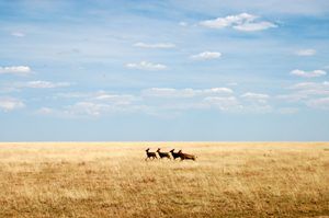
Again we read, “Pecan trees were this day seen, and large quantities of deer and wild turkey.” By July 4, they had reached a point not far from the present city of Atchison. They did not have the means for much celebration, but their observance of the day included firing “an evening gun” and naming two streams.
Fourth of July Creek and Independence Creek. Independence Creek still retains its name. A week later, they passed the fortieth parallel, which afterward became the northern boundary of Kansas, and continued on their way to the Pacific.
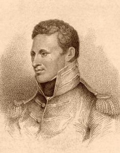
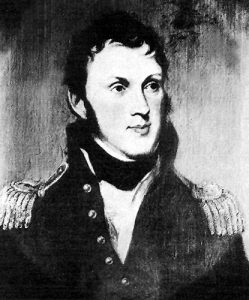
Pike’s Expedition. In 1806 another exploring party was sent out in command of Zebulon Montgomery Pike, a young lieutenant in the army. He was instructed to ascend the Missouri River, visit the various Indian tribes in the Kansas country, go west until the frontier of New Mexico was reached, then south toward the source of the Red River, which he was to descend to the Mississippi River and then to St. Louis, the starting point. The journey did not, however, follow just this route.
Pike Visits the Osage Indians. The Osage Indians lived in the eastern part of Kansas, south of the Kansas River. At their villages, Pike purchased supplies for the overland journey. From there, he went west and then northwest toward the Pawnee village, which is believed to have been within the bounds of Republic County.
Pike Among the Pawnee. When he crossed the Solomon River, he came upon the trail of Spanish troops. The authorities in Mexico had somehow heard of the Pike expedition and sent an army of 500 men to intercept him. These forces missed each other, but when Pike reached the village of the Pawnee Indians, he found them possessing many blankets, bridles, saddles, and other things they had received from the Spaniards. After being visited with much ceremony by the mounted and lordly army from Mexico, the Indians were not inclined to be courteous to Pike and his score of dusty, bedraggled footmen. After much unpleasantness and delay, a council attended by four hundred warriors was held. In his opening address, Pike spoke, among other things, of the numerous Spanish flags in the village. Pointing to one that floated above the tent of the head chief, he demanded that it be lowered and an American flag be put in its place. Several Indians made speeches without mentioning the flag. Pike again told them they must choose between the Spanish and the American governments. The Americans awaited the answer in anxious suspense. Finally, an old chief arose. He slowly hauled down the Spanish flag, laid it at Pike’s feet, and received the American flag in return. This he unfurled above the chief’s tent, and for the first time, so far as is known, the Stars and Stripes floated over Kansas.
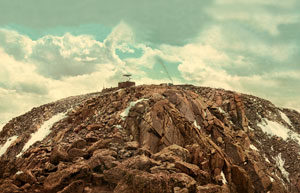
Pike in Colorado. From this place, Pike and his men moved southwest to the Arkansas River, where the party divided, some going down the river and on home. Instead of searching for the Red River according to instructions, Pike and his remaining men followed the Arkansas River into Colorado. They pushed westward, and after many days of travel, they sighted a mountain, which appeared like a small blue cloud but proved to be a great bald peak of the Rocky Mountains. This peak has since been named Pike’s Peak in honor of the explorer. By this time, it was winter, and their supplies were low. Pike and his men suffered terribly from cold and hunger while wandering among the mountains. Hoping to improve their condition, they moved toward the southwest, only to find themselves prisoners in Spanish territory. Later, they were escorted across Texas to the American frontier in Louisiana and released.
The Return of Pike. A whole year had passed before they found themselves again in St. Louis, a year of hardship for them, but well worthwhile, nevertheless, for Pike brought back a great deal of valuable information. That he was a better soldier than a farmer may be seen from this passage taken from his journal.
“From these immense prairies may rise one great advantage to the United States, viz., the restriction of our population to certain limits, and thereby a continuation of the union. Our citizens, being so prone to rambling and extending themselves on the frontiers, will, through necessity, be constrained to limit their extent on the west to the borders of the Missouri and the Mississippi, while they leave the prairies, incapable of cultivation to the wandering aborigines of the country.”
The Great American Desert. Another explorer, Major Stephen H. Long, came in 1819 and 1820 and expressed that most of the country was unfit for cultivation and, therefore, uninhabitable by agricultural people. He even went so far as to say the country bore a “resemblance to the deserts of Siberia.” Washington Irving, the great writer, said of this region: ” It could be well named the Great American Desert. It spreads into undulating and treeless plains and desolate sandy wastes, wearisome to the eye from their extent and monotony.
It is a land where no man permanently abides, for at certain seasons of the year, there is no food for the hunter or his steed.” The views of these men largely molded public opinion concerning the West. The country out of which has been carved such prosperous agricultural states as Oklahoma, Kansas, and Nebraska was, a hundred years ago, known as the “Great American Desert” and was so named on the maps of that time.
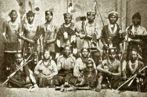
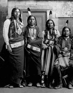
Indian Tribes in Kansas. The western prairies had, for untold ages, been occupied by Indians. At the time of Pike’s expedition, there were four tribes living within the present bounds of Kansas. These were the Kanza, the Osage, the Pawnee, and the Comanche tribes. The Kanza, or Kaw, Indians lived in the northeastern part of the State and were seen by Lewis and Clark in their expedition up the Missouri River. It is from this tribe that Kansas probably received its name. The Osage Indians were located in the eastern part, south of the Kansas River. The Pawnee tribe lived north and west of the Kanza Indians. It was in the Osage village that Pike secured supplies for his journey, and in the Pawnee village that he caused the Spanish flag to be lowered.
The Pawnee were once called the Quivira. The first of their tribe that we know anything about was “Turk,” who led Coronado into the wilderness. These three tribes lived in permanent homes and had tribal villages, but the fourth tribe was wanderers. They were the Comanche, sometimes called the Padouca, and they roved over the western part of Kansas and adjacent territory, hunting buffalo and following the herds as they grazed from place to place. They were fine horsemen and brave, but very fierce and warlike.
The Kansas of a Century Ago. This was the Kansas of a century ago. At that time, it had received neither name nor boundaries. For the first 50 years that this region was a part of the United States, that is, from the purchase of Louisiana until Kansas was organized as a territory in 1854; the white people little used the country except as a pathway to the West.
Summary. President Thomas Jefferson, wishing to learn about the unknown western country, sent out two exploring expeditions. The first, in 1804, was in charge of Lewis and Clark, who were to follow the Missouri River and go on across the mountains until they reached the Pacific coast. They passed along the northeast border of Kansas. The next exploring party was in command of Pike. His route was somewhat in the form of a circle. Beginning at St. Louis, it was to pass through Kansas, then south, then east, and up the Mississippi to St. Louis. He visited the Osage Indians in eastern Kansas, the Pawnee Indians in northern Kansas, where he raised the American flag, and then marched into Colorado, where he discovered Pike’s Peak. From Colorado, he went into New Mexico, where the Spaniards took him prisoner. They took him nearly to the Mississippi River and released him. On his return, he reported this country as unfit for settlement, and later explorers shared his opinion. At the time of Pike’s expedition, there were four tribes of Indians in Kansas, the Osage, the Kanza, the Pawnee, and the Comanche.
Compiled & edited by Kathy Alexander/Legends of America, updated January 2023. Source: Arnold, Anna E.; The State of Kansas; Imri Zumwalt, state printer, Topeka, Kansas, 1919.
Also See:

