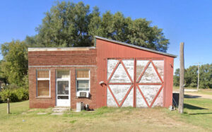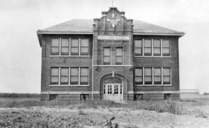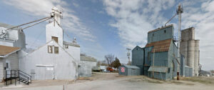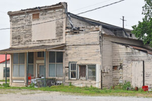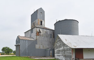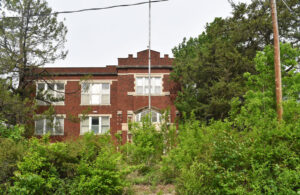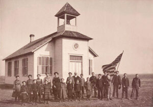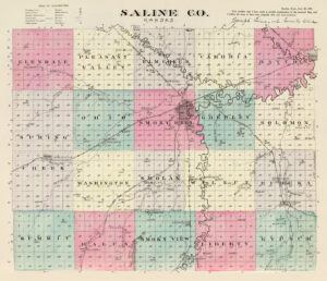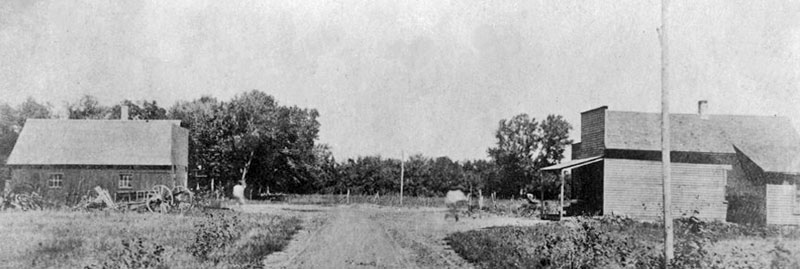
Hedville, Kansas, about 1905.
| Town | Post Office Dates | Additional Information |
| Appin | 1873-1875 | |
| Bavaria/Honek | 1867-1986 | Bavaria, Kansas, first called Honek, is an unincorporated community and ghost town located about nine miles southwest of Salina. |
| Berwick | 1881-1885 | |
| Black Warrior | 1871 | The post office was open for less than three months. |
| Bridgeport | 1879-1976 | Bridgeport, Kansas, is an unincorporated community on the Smoky Hill River in Smoky View Township of Saline County. It is also an “extinct town” as it no longer has a post office. |
| Broadview | 1875-1879 | The post office moved to Torry. |
| Chico/Bridge | 1877-1897 | The name changed from Bridge to Chico on April 27, 1886. |
| Crown Point | 1879-1892 | |
| Digby/Gypsum Creek | 1869-1887 | The name changed from Gypsum Creek to Digby on October 21, 1886. |
| Dry Creek | 1877-1887 | |
| Glendale | None | It was an unincorporated community in Glendale Township, about 15 miles northwest of Salina, along a Kansas and Oklahoma Railroad line. |
| Hebron | 1874 | The post office was only open for about six months. |
| Hedville | None |
An unincorporated community in Ohio Township on Mulberry Creek. Named for Hed, a pioneer. It lies along Hedville Road and a Kansas and Oklahoma Railroad line, one mile south of Interstate 70, northwest of Salina. There are still a few remaining buildings. |
| Iron Mound | 1866-1868 | |
| Kipp | 1890-1957 |
It was located on the line between Solomon and Eureka Townships on the Missouri Pacific Railroad. In 1910, it had telegraph and express offices, a money order post office, and a population of 150. It was located about 11 miles southeast of Salina. As of the 2020 census, the community’s population and nearby areas were 60. It is located southeast of Salina along Schilling Road between Whitmore Road and Kipp Road, next to an abandoned railroad. The West Branch of Gypsum Creek flows through the community. |
| Lesterville | 1872-1875 | |
| Marietta | 1874 | The post office was open for less than five months. |
| Marydel | 1885-1891 | |
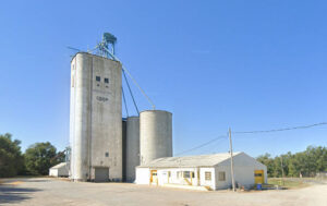
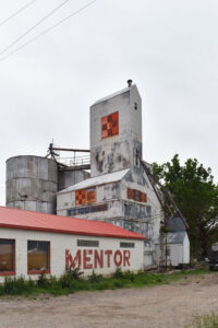
| Mentor | 1881-1995 | Located in Smolan Township, it was on the Union Pacific Railroad. The town was named by settlers who hailed from Mentor, Ohio. In 1910, it had an express office, a money order post office with one rural route, and a population of 38. At some point, the railroad was abandoned. Mentor still has several buildings, numerous grain silos, and a small population. It is eight miles south of Salina. |
| Mulberry | 1871-1890 | |
| Oasis | 1873-1875 1879-1880 |
|
| Poheta | 1870-1887 | |
| Sabra | 1867-1870 | |
| Salemsburg | 1875-1902 |
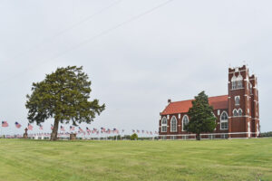
Also spelled Salemsburgh. This was an inland hamlet in Smoky View Township. In February 1869, a large group from Galesburg and Swedonia arrived and settled in the Salemsborg community. By Spring 1870, all the available land in the area was taken. In September 1869, the Salemsborg Lutheran Church was established, serving the local and surrounding farming area. In 1910, its population was 35. It still has a sizeable Lutheran Church and cemetery that are still active today. It is ten miles south of Salina at Burma Road and Salemsborg Road intersection.
|
| Shipton/York | 1888-1895 | The name changed from York to Shipton on March 29, 1890. It was located northwest of Salina, about 0.75 miles west of the intersection of Halstead Road and Shipton Road, next to an abandoned railroad. |
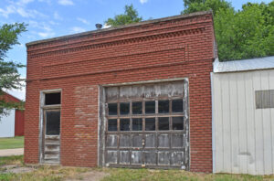
| Smolan | 1887-1997 | Located in Smolan Township, it was named after the Swedish province of Småland, the native home of many early settlers. It was on the Missouri Pacific Railroad. In 1910, it had telegraph and express offices, a money order post office with two rural routes, and a population of 175. Smolan High School was closed through school unification. The town still boasts several old business buildings, homes, silos, and a grain elevator. As of the 2020 census, its population was 162. It is 11 miles southwest of Salina. |
| Strickler | 1899-1901 | Located in Solomon Township, about half a mile from the eastern line of the county and about 12 miles from Salina. The population in 1910 was 15. |
| Torry | 1879-1886 | The post office moved from Broadview. |
| Trenton/Nasby | 1885-1898 |
The name changed from Nasby to Trenton on April 29, 1887. It was located northwest of Salina at the intersection of Gerard Road and Pleasant Hill Road, next to an abandoned railroad. |
| Valley | 1870-1872 | |
| Wonderly | 1888-1906 | A small Missouri Pacific Railroad station located in Liberty Township, 18 miles from Salina. The population in 1910 was 20. |
©Kathy Alexander/Legends of America, updated January 2026.
Also See:
Emerging Ghost Towns of the Plains
Sources:
Blackmar, William; Kansas: A Cyclopedia of State History, Standard Publishing Co., Chicago, IL,1912.
Cutler, William; History of the State of Kansas, A.T. Andreas, Chicago, IL, 1883.
Kansas Post Office History
Wikipedia

