
Old railroad station in Alida, Kansas.
Alida, Kansas, an extinct town in Geary County, was located in the Smoky Hill Township at the point where Curtis Creek joins the Republican River. The area’s first settlers claimed land in 1858, but it was after the Civil War before the community really began to develop.
In 1863, settlers in the area met to organize a school district. In 1864, John P. Grasberger settled a mile west of the site. Early settlers to the community included George and Matthew Wilson, who journeyed to Geary County from Illinois to buy land in 1864.
School District #6 was approved in 1866, which included all of the western part of the county. The school was built on the Grasberger farm about 1/8 of a mile west of their home.
In 1867, Matthew Wilson returned with his family and spent the winter in a one-room cabin on the banks of the Republican River about a quarter of a mile south of the future site of Alida. Royal R. Clemons settled on a farm a mile north of the site in 1868.
In 1870, the community decided that they needed a name. Many names were suggested, but nothing could be settled on. Finally, Mrs. Clemons suggested Alida, which was agreed on. Some accounts say that Alida was the name of a childhood friend of Mrs. Clemons. On June 13, 1870, a post office was established in the Clemons home with Royal Clemons as the postmaster.
By 1872, the Junction City and Fort Kearney Railroad reached the community. It later became a branch line of the Union Pacific Railroad. John Grasberger built a log store and grain warehouse beside the rail line. Soon, Royal R. Clemons and George Wilson partnered with him to build a grain elevator. They later built a stockyard, blacksmith shop, and lumber yard.
In 1873, the post office was moved to the Grasberger home.
By 1876, it was decided that the community needed a new school, and Matthew Wilson deeded an acre of land a half mile north of Alida. All of the farmers in the community helped to build the new schoolhouse. Stone was used from a quarry only a mile away. The school was completed in 1878.
In 1910, the village was a station on the Union Pacific Railroad, had a money order post office and a telegraph office, and was a trading and shipping point for that section of the county.
The Alida post office closed on April 15, 1939, but it was still an active community supporting a large grain elevator.
Due to severe flooding in Kansas, the creation of Milford Lake was authorized by the Flood Control Act of 1954 to provide flood control, water supply, water quality, navigation, and recreation/wildlife. Soon, Alida residents were told that they would have to evacuate the area.
Construction of the Milford Dam began July 13, 1962, at mile 8.3 of the Republican River, as a project owned and operated by the United States Army Corps of Engineers.
An estimated 47 families were displaced within the community. At the time of the evacuation, there were four businesses, six residences, and the elevator in Alida.
A group of Junction City Developers secured permission from the U.S. Army Corps of Engineers to turn the large Alida Cooperative grain elevator into a hotel and restaurant accessible only by boat. However, plans for the hotel fell through when Corps of Engineers studies showed that the base of the elevator would not support the structure after the lake inundated it.
The grain elevator was scheduled for demolition on October 7, 1965. It was to be a simple affair with a couple of charges placed at strategic points, and the elevator would fall into a ditch that was dug around the base. However, the elevator was much stronger than it appeared. It took six blasts over a two-day period to get the elevator to topple partially. It was finally brought down with bulldozers.

Grain Elevator in Alida, Kansas.
What was left of Alida was razed in 1966-1967.
It was eight miles west of Junction City.
©Kathy Alexander/Legends of Kansas, November 2023.
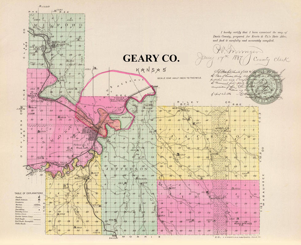
Geary County, Kansas Map by L.H. Everts & Co., 1887.
Also See:
Extinct Towns of Geary County, Kansas
Sources:
Blackmar, Frank W.; Kansas: A Cyclopedia of State History, Vol I; Standard Publishing Company, Chicago, IL 1912.
Geary County Historical Society
Geary County History